In 1937, a 100+ year recurrence interval flood eroded a ~60 m long section of the 18th Century levee (flood embankment) on the Allanmore floodplain west of Braemar. This resulted in the cutting of a new channel (avulsion) in the floodplain and deposition of gravel . To reduce future inundation of rough grazing land on the floodplain, the estate plugged the gap with a substantial new levee (~60 m long by 5 m wide) in 1984. The levee was built up with concrete and stone rubble, earth, several cars and the river side of the embankment was faced with railway sleepers and corrugated metal. In effect the ’new’ channel became sealed off and since the embankment was constructed has functioned as a backwater fed by groundwater, overtopping flows from the Dee and localised surface runoff.
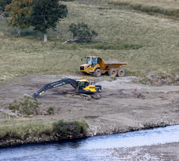
Under the current Dee catchment management plan and with funding from the EU ‘Pearls in Peril’ project, the car barrier was removed in October 2015 to re-connect the river with its floodplain and the backwater. The work was carried out by numerous partners co-ordinated through the Dee Catchment Partnership.
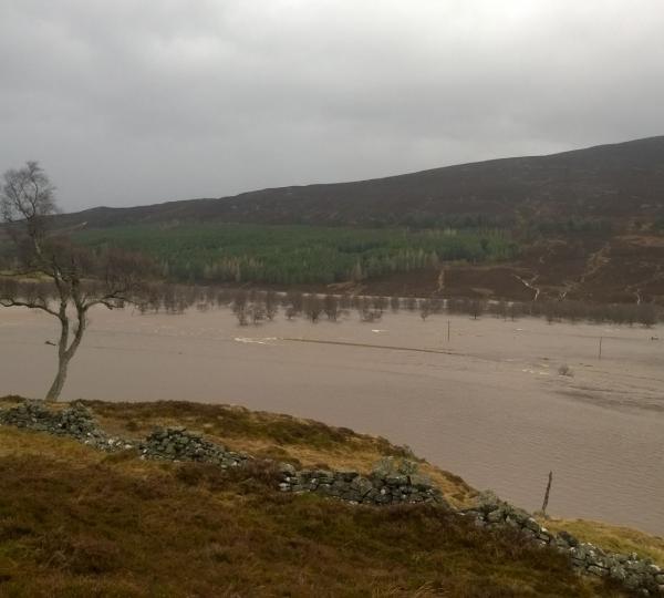
The potential benefits of reconnecting the backwater and floodplain area (~0.67 km2) on the north bank are: 1. Increased floodwater storage and thus decreased flood risk downstream; 2. Improved riparian habitat diversity; 3. Increased habitat area and diversity if the incipient channel continues to migrate across the floodplain; 4. Demonstration of this style of habitat restoration technique that could inform similar remedial action in other river systems. 5. Increased amenity value.
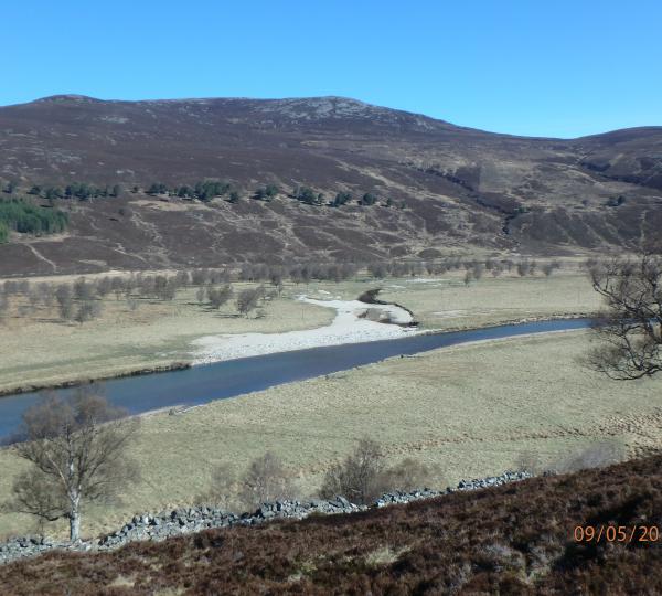
Pre- and post-removal monitoring has taken place since June 2013 and is ongoing. Monitoring includes water level recording in the reconnected backwater and floodplain, vegetation surveys, pebble counts, topographic surveys and time lapse photography with automated cameras.