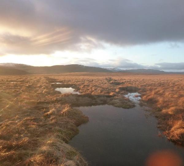
Peatland restoration is important for storing and sequestering carbon, improving water quality and attenuating downstream flood risk. The Dunruchan Farm Peatland Restoration Project has delivered 48.2ha of restored upland blanket bog located in the Knaik sub catchment of the Allan Water, Perthshire. The project, funded by SNH’s Peatland Action Fund and managed by the River Forth Fisheries Trust, consists of: 790 peat dams; 10.4km (10365m) of ditch and gully reprofiling; 6 wooden sediment traps; further 40m of peat dams; 10m trench bund; and 7 plastic dams, collectively demonstrating a large variety of restoration measures as requested by the funder.
The project is also part of the wider River Forth Fisheries Trust’s Allan Water Improvement Project. The main objectives of the Allan Water Improvement Project are to deliver integrated catchment based projects that tackle issues including WFD objectives, NFM, diffuse pollution and barriers to fish passage.
The Allan Water has 3 potentially vulnerable areas (PVAs) to flood risk as assessed in the National Flood Risk Assessment, part of the Flood Risk Management Act 2009. A hydrological modelling study in 2011 by Halcrow and CRESS identified this area as contributing on average 23% of the flood peak that occurs in Bridge of Allan, which is the most significantly impacted PVA.
The location of the Dunruchan peatland site is also adjacent to/beside an important tributary for salmon and sea trout spawning.
In-situ monitoring includes 4 flow pressure transducers and 3 rain gauges installed in the Knaik sub catchment. The equipment was funded by a previous Scottish Government grant to Stirling University, which the AWIP has taken over delivery of.