You are here

Logie Burn Restoration, Dee catchment

1
2
3

Catchment Information

The Logie Burn (31.4 km2) is a 4th order stream in the River Dee catchment (2105 km2), N.E. Scotland, that drains the western part of the Howe of Cromar and flows into Loch Davan.  Land use in the catchment is dominated by agriculture (36%) and at higher elevations moorland (42%) and forestry (22%). The Logie Burn is rated as having poor ecological status under SEPA’s waterbody classification due to diffuse sediment  and nutrient inputs.  The Logie Burn, in its lower half, is artificially straight due to historical modification to improve the drainage of agricultural land.

The annual average rainfall of the catchment is 910 mm.  The catchment is underlain by Cambro-Ordovician igneous rocks and Dalradian metamorphic rocks.  The solid geology is overlain by fluvio-glacial outwash deposits and glacial till. 

Stage of project

Work completed

Monitoring Undertaken

Yes

Modelling Undertaken

Yes

Project Descriptions

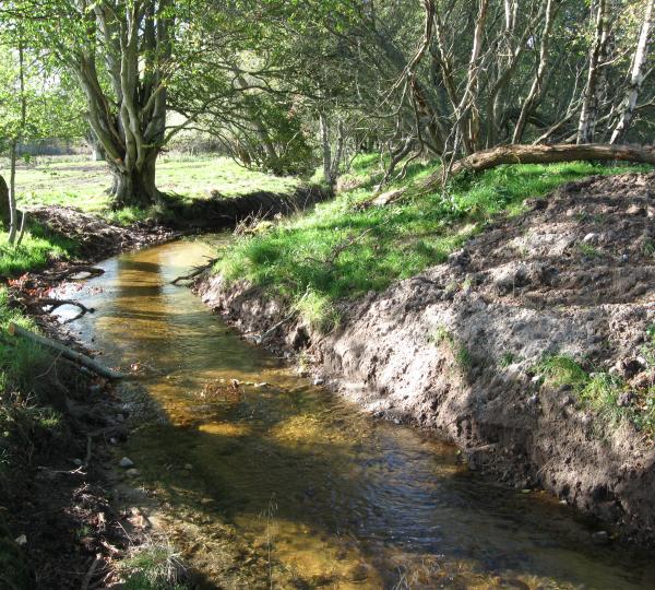
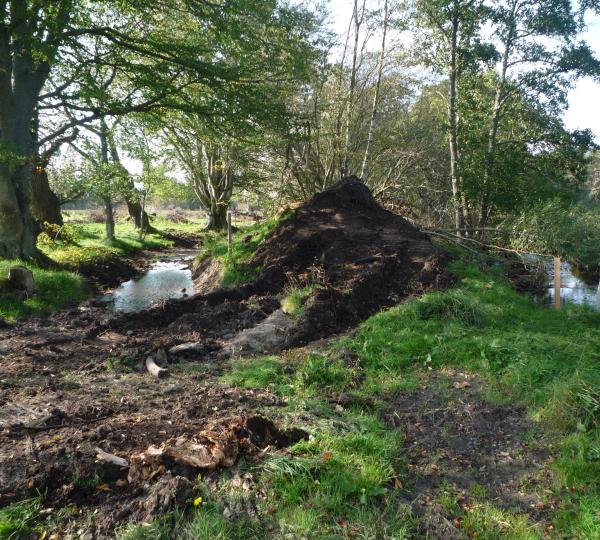
In early October 2011, a reach of the lower Logie Burn, was reconnected to relict meanders to restore its meandering morphology, river habitat and riparian habitat diversity.  Further aims were to reduce downstream phosphorous and fine sediment transfer into Loch Davan by enhancing in-channel storage capacity and raise the profile of this style of restoration to practitioners and stakeholders in the region. 

Since July 2011, before and after monitoring of channel morphology, habitat, discharge, riverbed sediment and riverbed phosphorous has been undertaken within the restored reach and an upstream control reach.   Alongside evaluating the rates and types of physical processes that occur, the monitoring aims to assess how well the scheme creates benefits of:

  • Increased diversity of physical habitat;
  • Reduced nutrient and fine sediment transfer into Loch Davan.   

Scottish Natural Heritage

Dee Catchment Partnership

Dinnet and Kinord Estate

James Hutton Institute

Websites