The main focus of this project is to collect empirical data to determine how NFM can be used as a flood management tool and to identify other multiple benefits such as improved habitat.
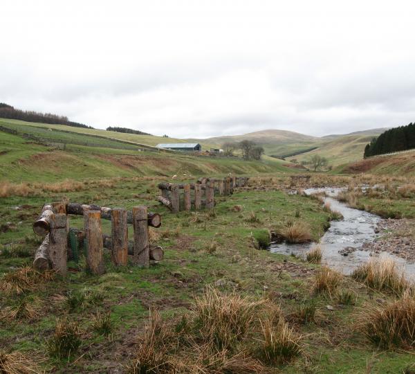
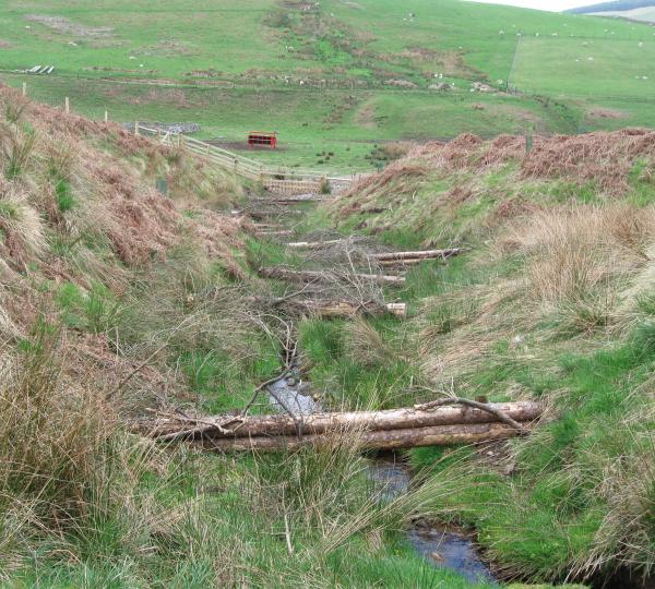
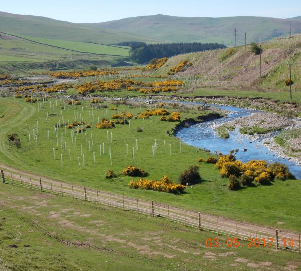
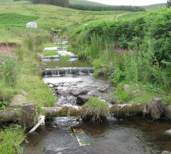
A range of measures have been installed in the catchment from 2012 onwards. In total 78 leaky barrier structures - including bar apex engineered log jams (ELJs) have been installed in the catchment. The ELJs are mainly located in the Swindon Haugh area, at Kelsocleuch and at Clifton. In addition flow restrictors have been installed on the Elm Sike. Alongside these structures, large areas of native trees have been planted on floodplains most notably at Swindon Haugh and Venchen resulting in 1-2% of full catchment area planted. However, 10% of the Calroust sub-catchment (6km2) a tributary of the Bowmont Water, has been planted by the private landowner. In addition novel wooden structures and willow plantings for protecting river banks have been installed at Clifton, Kelsocleuch and Calroust. An interception hedge has been planted at Keslocleuch.
There are 10 water level monitoring stations, three rain gauges and two time-lapse cameras operational in the catchment (in a multiscale nested design). The sites have been operational since 2012. These are complemented by a long term flow and weather monitoring station at Sourhope (15+ years of data as part of the Environmental Change Network programme). A COSMOS soil moisture monitoring station is associated with this site. Geomorphic responses and coarse sediment movement in the river corridor has also been monitored with topographical surveys, sediment tracers, photo analysis and sediment impact sensors.